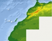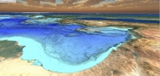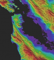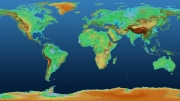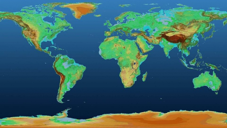
هناك مواقع كثيرة لتحميل نماذج الارتفاعات الرقمية وهذه 10 منها:
1- Consortium du GCRAI pour l’information spatiale (CGIAR-CSI
http://srtm.csi.cgiar.org/SELECTION/inputCoord.asp)
2- EOC Geoservice
https://download.geoservice.dlr.de/SRTM_XSAR/
3- USGS
https://earthexplorer.usgs.gov/
4- NOAA
https://www.ngdc.noaa.gov/mgg/topo/gltiles.html
5- LP DAAC - Explorateur de données globales
https://gdex.cr.usgs.gov/gdex/
6- USGS - Visionneuse GMTED2010
https://topotools.cr.usgs.gov/GMTED_viewer/viewer.htm…
7- Le monde global 3D ALOS de la JAXA
https://www.eorc.jaxa.jp/ALOS/en/aw3d30/
8- Détection de la lumière et télémétrie -LiDAR
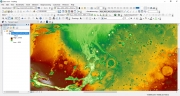
9- MOLA Orbiter Mars
http://chrisherwig.org/planets/map/terrain/
10 - TanDEM-X
https://tandemx-science.dlr.de/?fbclid